- Published on
Harnessing Knowledge: Understanding and Mitigating Volcanism, Earthquakes, and Tsunamis
- Authors

- Name
- UPSCgeeks
The Earth, a dynamic and ever-evolving planet, occasionally unleashes its raw power through dramatic and often devastating natural phenomena. Volcanism, earthquakes, and tsunamis represent three of the most significant geological hazards, capable of reshaping landscapes, impacting ecosystems, and causing immense human suffering. This blog post delves into the intricacies of these phenomena, exploring their underlying mechanisms, associated risks, and the strategies employed to understand and mitigate their impact.
I. The Interconnected Earth: Plate Tectonics and Geohazards
The foundation for understanding volcanism, earthquakes, and tsunamis lies in the theory of plate tectonics. The Earth's lithosphere is fragmented into several large and small tectonic plates that float on the semi-molten asthenosphere. These plates are in constant motion, driven by convection currents within the mantle. The interactions between these plates at their boundaries are the primary drivers of geological activity.
- Divergent Boundaries: Plates move apart, allowing magma to rise from the mantle, creating new crust. This process is responsible for mid-ocean ridges and rift valleys. While volcanic activity is common, it tends to be less explosive than at convergent boundaries. Earthquakes are generally shallow and less powerful.
- Convergent Boundaries: Plates collide, resulting in either subduction (one plate sliding beneath another) or collision (two continental plates smashing together). Subduction zones are characterized by deep-sea trenches, volcanic arcs, and powerful earthquakes. Collision zones, like the Himalayas, are marked by intense folding and faulting, leading to large earthquakes.
- Transform Boundaries: Plates slide past each other horizontally. This movement can cause friction, leading to the build-up of stress that is released in the form of earthquakes. The San Andreas Fault in California is a prime example.
II. Volcanism: Earth's Fiery Outbursts

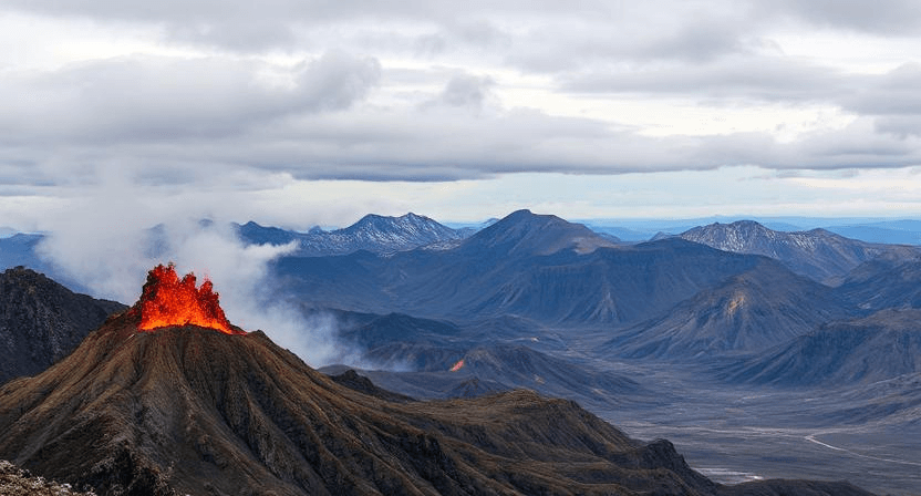
Volcanism encompasses all processes related to the eruption of molten rock (magma) onto the Earth's surface. Volcanoes are the surface manifestations of these processes, formed by the accumulation of erupted materials.
A. Magma Formation and Composition:
Magma is formed by the partial melting of rocks within the Earth's mantle or crust. The composition of magma varies depending on the source rock, the degree of melting, and the presence of volatile components (water, carbon dioxide, sulfur dioxide).
- Basaltic Magma: Typically formed in the mantle, low in silica, and low in viscosity. Results in effusive eruptions with flowing lava.
- Andesitic Magma: Formed at subduction zones, intermediate in silica, and intermediate in viscosity. Results in a mix of effusive and explosive eruptions.
- Rhyolitic Magma: Formed in the continental crust, high in silica, and high in viscosity. Results in highly explosive eruptions.
B. Types of Volcanoes:
- Shield Volcanoes: Broad, gently sloping volcanoes formed by the accumulation of fluid basaltic lava flows. Examples include Mauna Loa and Kilauea in Hawaii.
- Cinder Cones: Steep-sided cones formed by the accumulation of cinders and ash ejected during explosive eruptions. Often associated with basaltic volcanism.
- Composite Volcanoes (Stratovolcanoes): Tall, cone-shaped volcanoes built up of alternating layers of lava flows and pyroclastic materials (ash, pumice, volcanic bombs). Characterized by explosive eruptions. Examples include Mount Fuji in Japan and Mount Vesuvius in Italy.
- Lava Domes: Bulbous masses of viscous lava that erupt slowly and accumulate around a vent. Often associated with rhyolitic volcanism.
- Calderas: Large, basin-shaped depressions formed by the collapse of a volcano after a massive eruption. Examples include Yellowstone Caldera in the United States and Lake Toba in Indonesia.
C. Volcanic Hazards:
Volcanic eruptions pose a variety of hazards to human life and infrastructure.
- Lava Flows: Streams of molten rock that can bury or incinerate anything in their path. While destructive, they are relatively slow-moving and predictable.
- Pyroclastic Flows: Hot, fast-moving currents of gas and volcanic debris that can travel at speeds of hundreds of kilometers per hour. Extremely deadly.
- Ashfall: The deposition of volcanic ash, which can disrupt air travel, contaminate water supplies, damage crops, and cause respiratory problems.
- Lahars: Mudflows composed of volcanic ash, rock debris, and water. Can travel long distances and inundate valleys.
- Volcanic Gases: Eruptions release gases such as sulfur dioxide, carbon dioxide, and hydrogen sulfide, which can be toxic and contribute to acid rain.
- Lateral Blasts: Powerful, horizontal explosions of gas and volcanic debris that can destroy everything in their path.
D. Monitoring and Prediction:
Monitoring volcanic activity is crucial for predicting eruptions and mitigating their impact. Techniques include:
- Seismic Monitoring: Detecting changes in the frequency and intensity of earthquakes.
- Ground Deformation Monitoring: Measuring changes in the shape of the volcano using GPS, satellite radar interferometry (InSAR), and tiltmeters.
- Gas Emission Monitoring: Measuring the composition and flux of volcanic gases.
- Thermal Monitoring: Measuring changes in the temperature of the volcano using thermal infrared cameras.
Volcanic prediction is still an inexact science, but by combining these monitoring techniques, scientists can often identify signs of an impending eruption and provide timely warnings.
III. Earthquakes: Shaking the Ground Beneath Us

Earthquakes are vibrations of the Earth's crust caused by the sudden release of energy in the lithosphere. Most earthquakes occur along faults, which are fractures in the Earth's crust where movement occurs.
A. Fault Types:
- Normal Faults: Occur at divergent boundaries, where the crust is being stretched. The hanging wall (the block above the fault) moves down relative to the footwall (the block below the fault).
- Reverse Faults (Thrust Faults): Occur at convergent boundaries, where the crust is being compressed. The hanging wall moves up relative to the footwall.
- Strike-Slip Faults: Occur at transform boundaries, where plates slide past each other horizontally.
B. Seismic Waves:
Energy released during an earthquake travels in the form of seismic waves.
- P-waves (Primary waves): Compressional waves that travel through solids, liquids, and gases. They are the fastest seismic waves.
- S-waves (Secondary waves): Shear waves that can only travel through solids. They are slower than P-waves.
- Surface waves: Waves that travel along the Earth's surface. They are the slowest seismic waves but cause the most damage.
- Love waves: Horizontal shear waves.
- Rayleigh waves: Vertical and horizontal motion, similar to ocean waves.
C. Measuring Earthquakes:
- Magnitude: A measure of the energy released by an earthquake.
- Richter Scale: A logarithmic scale that measures the amplitude of seismic waves. Primarily used for smaller, local earthquakes.
- Moment Magnitude Scale: A more accurate scale that measures the total energy released by an earthquake, based on the seismic moment (the area of the fault that ruptured, the amount of slip, and the rigidity of the rocks). Used for all sizes of earthquakes.
- Intensity: A measure of the effects of an earthquake at a particular location. The Modified Mercalli Intensity Scale uses observations of damage to assess intensity.
D. Earthquake Hazards:
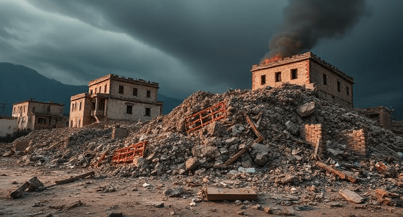
- Ground Shaking: The most direct and widespread hazard. The intensity of ground shaking depends on the magnitude of the earthquake, the distance from the epicenter, and the local geology.
- Ground Rupture: The visible displacement of the ground surface along a fault line.
- Landslides and Avalanches: Earthquakes can trigger landslides and avalanches, especially in mountainous areas.
- Liquefaction: The transformation of saturated soil into a liquid-like state during ground shaking. This can cause buildings to sink or collapse.
- Tsunamis: Earthquakes that occur on the seafloor can generate tsunamis.
- Fires: Earthquakes can rupture gas lines and electrical wires, leading to fires.
E. Monitoring and Prediction:
Earthquake prediction remains a major challenge. While scientists cannot reliably predict when and where an earthquake will occur, they can monitor seismic activity and assess the risk of earthquakes in certain areas.
- Seismic Monitoring: Using seismographs to detect and record earthquakes.
- Fault Monitoring: Studying the movement and strain accumulation along faults.
- Paleoseismology: Studying past earthquakes by examining geological evidence of fault rupture and ground deformation.
Probabilistic seismic hazard assessments can be used to estimate the likelihood of earthquakes of different magnitudes occurring in a given area over a certain period of time. This information can be used to inform building codes and land-use planning.
IV. Tsunamis: Giant Waves of Devastation

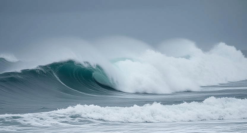
Tsunamis are giant ocean waves typically caused by undersea earthquakes. They can also be triggered by volcanic eruptions, landslides, and meteorite impacts.
A. Formation:
When an earthquake occurs on the seafloor, it can cause vertical displacement of the water column, generating a tsunami. The larger the earthquake and the closer it is to the surface, the larger the tsunami.
B. Characteristics:
- Wavelength: In the open ocean, tsunamis have long wavelengths (hundreds of kilometers).
- Amplitude: In the open ocean, tsunamis have small amplitudes (less than a meter).
- Speed: In the open ocean, tsunamis travel at high speeds (hundreds of kilometers per hour).
- Run-up: As a tsunami approaches the coast, the water depth decreases, causing the wave to slow down, its wavelength to shorten, and its amplitude to increase dramatically. The maximum height reached by the tsunami on land is called the run-up.
C. Impacts:
Tsunamis can cause widespread destruction and loss of life.
- Inundation: Flooding of coastal areas.
- Erosion: Erosion of shorelines.
- Structural Damage: Damage to buildings and infrastructure.
- Debris: Transport of debris inland.
D. Tsunami Warning Systems:
Tsunami warning systems are designed to detect tsunamis and provide timely warnings to coastal communities.
- Seismic Monitoring: Detecting earthquakes that could potentially generate tsunamis.
- Tide Gauges: Measuring changes in sea level.
- Deep-Ocean Assessment and Reporting of Tsunamis (DART) buoys: Detecting and measuring tsunami waves in the open ocean.
- Warning Centers: Analyzing data and issuing warnings to coastal communities.
Tsunami warning systems are most effective when combined with community education and preparedness programs.
V. Mitigation Strategies: Building a Resilient Future
Mitigating the risks associated with volcanism, earthquakes, and tsunamis requires a multi-faceted approach.
- Land-Use Planning: Avoiding building in areas prone to geological hazards.
- Building Codes: Implementing and enforcing building codes that are designed to withstand earthquakes, volcanic eruptions, and tsunamis.
- Early Warning Systems: Developing and maintaining effective early warning systems for earthquakes, tsunamis, and volcanic eruptions.
- Community Education: Educating communities about the risks associated with natural hazards and how to prepare for them.
- Disaster Preparedness: Developing disaster preparedness plans and conducting drills.
- Emergency Response: Establishing effective emergency response plans and training personnel.
- Infrastructure Improvements: Strengthening infrastructure to withstand geological hazards.
- Relocation: Moving communities away from high-risk areas.
VI. Case Studies: Learning from the Past
- The 2004 Indian Ocean Tsunami: A devastating event that highlighted the vulnerability of coastal communities to tsunamis and the importance of early warning systems.
- The 2011 Tohoku Earthquake and Tsunami: A powerful earthquake and tsunami that caused widespread devastation in Japan and triggered the Fukushima Daiichi nuclear disaster.
- The 1985 Eruption of Nevado del Ruiz: A volcanic eruption that triggered a devastating lahar that killed over 25,000 people in Colombia.
- The 1980 Eruption of Mount St. Helens: A volcanic eruption that provided valuable insights into volcanic processes and the hazards associated with explosive eruptions.
- The 1906 San Francisco Earthquake: A devastating earthquake that highlighted the vulnerability of urban areas to seismic hazards.
VII. Conclusion: Knowledge and Preparedness
Volcanism, earthquakes, and tsunamis are powerful and destructive forces that shape our planet. While we cannot prevent these events from occurring, we can mitigate their impact by understanding their underlying mechanisms, developing effective monitoring and warning systems, implementing appropriate mitigation strategies, and educating communities about the risks. By harnessing our knowledge and working together, we can build a more resilient future and protect ourselves from the devastating consequences of these natural hazards.
Practice Exercises:
Multiple-Choice Questions:
Which type of fault is associated with convergent plate boundaries and compression?
- a) Normal fault
- b) Strike-slip fault
- c) Reverse fault
- d) Transform fault Answer: c) Reverse fault
Which of the following volcanic hazards is characterized by a hot, fast-moving current of gas and volcanic debris?
- a) Lava flow
- b) Ashfall
- c) Lahar
- d) Pyroclastic flow Answer: d) Pyroclastic flow
What is the primary method for detecting tsunamis in the open ocean?
- a) Tide gauges
- b) Seismographs
- c) DART buoys
- d) GPS Answer: c) DART buoys
Scenario-Based Question:
A magnitude 7.5 earthquake occurs offshore near a coastal city. What immediate actions should be taken by the authorities to protect the population?
- Answer: The authorities should immediately issue a tsunami warning, activate emergency response plans, and begin evacuating people from low-lying coastal areas. They should also monitor sea levels and provide updates to the public.
Map-Based Exercise:
Examine a world map showing the distribution of tectonic plates. Identify regions that are at high risk for both earthquakes and tsunamis. What characteristics of those regions make them particularly vulnerable?
- Answer: Regions along subduction zones, such as the Pacific Ring of Fire, are at high risk for both earthquakes and tsunamis. These regions are characterized by frequent large earthquakes and the potential for undersea earthquakes to generate tsunamis. Coastal communities in these regions are particularly vulnerable due to their proximity to the source of these hazards.
Recommended Books
You can explore these highly recommended resources for a deeper understanding.
- PMF IAS Physical Geography for UPSC
- Fundamental of Physical Geography - by NCERT
- Principles of Indian Geography (English | Latest Edition) for UPSC 2025 CSE Prelims & Mains by StudyIQ - by StudyIQ Publication
Timetable Generator Tool: Check our Study Timetable Generator.
Related Articles:
- Climate Change in India: Government Actions, Policies, and Key Initiatives
- Climate Change and Mitigation Strategies: Tackling Global Warming and Greenhouse Gas Emissions
- Climate Change Organizations: Global Efforts Driving Environmental Sustainability
- Conservation Measures in India: Methods, Protected Areas, Action Plans & Key Initiatives
